中文

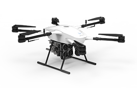
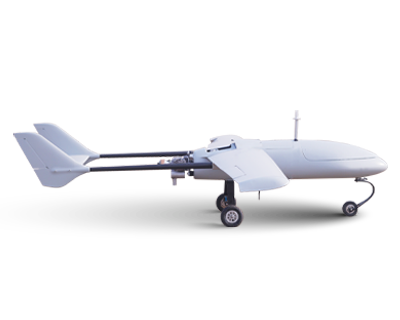
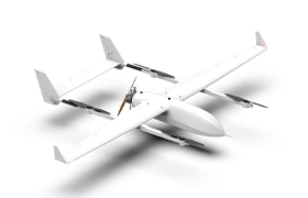
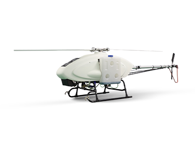
With social development and technological progress in recent years, low-altitude remote sensing technology has gradually risen. The high-altitude remote sensing technology we often say refers to the satellite remote sensing technology, while the low-altitude remote sensing technology refers to the application of UAVs equipped with digital cameras to take aerial photographs in the air to collect and organize geographic information. UAV technology can apply GPS navigation technology to realize automatic navigation and can operate in the air below 1,000 meters. Due to the small size, UAV has good flexibility, strong maneuverability and fast sailing speed. UAVs can also achieve camera shooting in and under the cloud, so as to provide more advanced technical support.
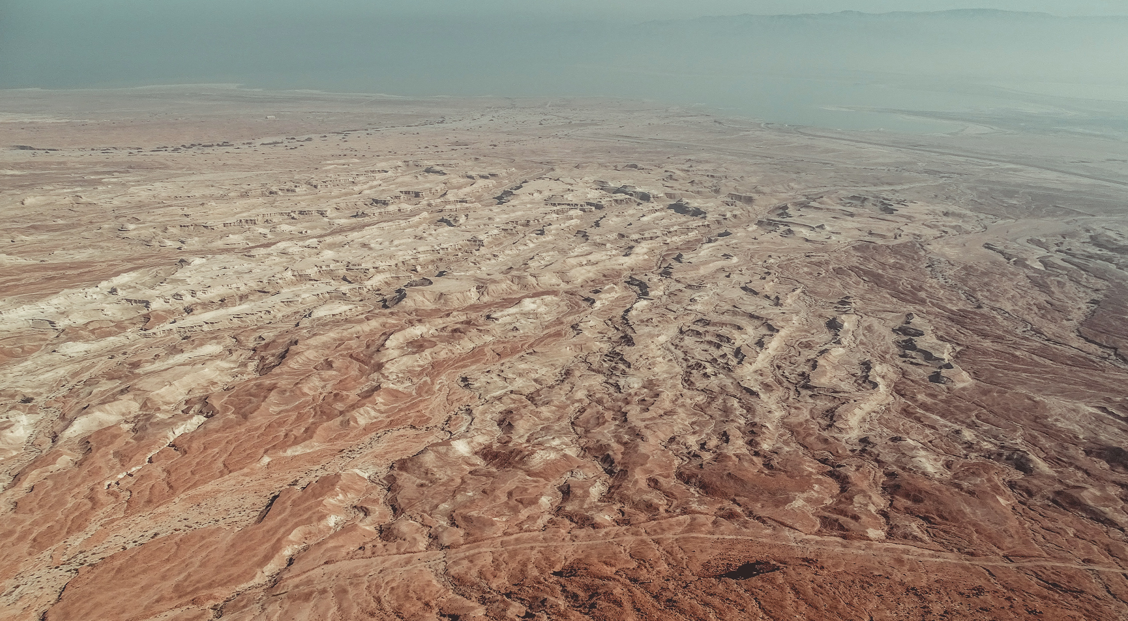
Great progress in the application of planning technology have been made in China so far. A considerable range of applications in responding to natural disasters, building digital cities, and conducting land and resources surveys have been used. UAV technology has made considerable progress in China. With technological development, there is also a relatively rich accumulation of technical experience. UAV technology is a major modern surveying and mapping technology, which has a relatively prominent impact on the emergency protection of the society. The application of UAV technology in mapping and surveying technology can effectively enhance China’s emergency rescue capabilities in response to disasters and ensure the quality and efficiency of rescue.
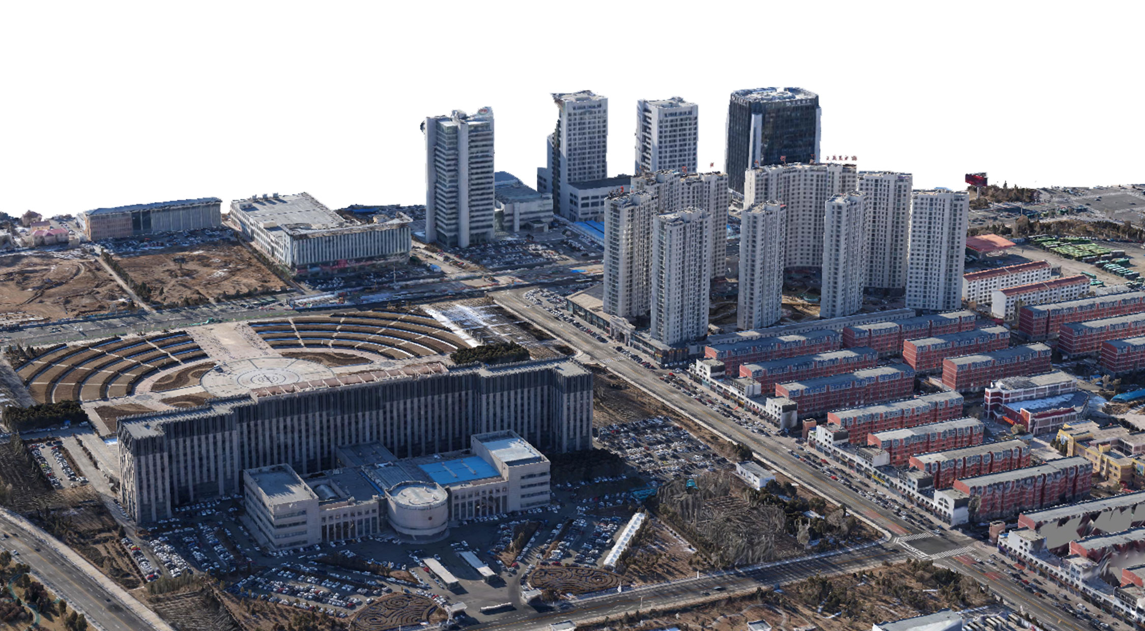
At present, there are more than 300 surveying and mapping units nationwide with aerial photography qualifications, and more than 2,000 UAVs are used. In 2019, the Ministry of Natural Resources of the People’s Republic of China launched the “14th Five-Year Plan” basic surveying and mapping plan, so as to promote the national surveying and mapping “Realistic 3D China Construction” project. This project will lead nearly 400,000 professional and technical personnel in the surveying and mapping industry to transfer from the traditional surveying and mapping field to the UAV surveying and mapping field. UAV surveying and mapping technology has a unique role in promoting the digital construction of cities in China. UAV surveying and mapping technology can collect and organize the information of China’s urban infrastructure, and finally complete the digital construction of cities, contributing to China’s urban management and social governance construction.
Importing oblique images and POS data, DP-Smart obtains the aerial triangulation results of the shooting area through the steps of extracting feature points, extracting image pairs with the same name, relative orientation, matching connection points, and regional network adjustment.
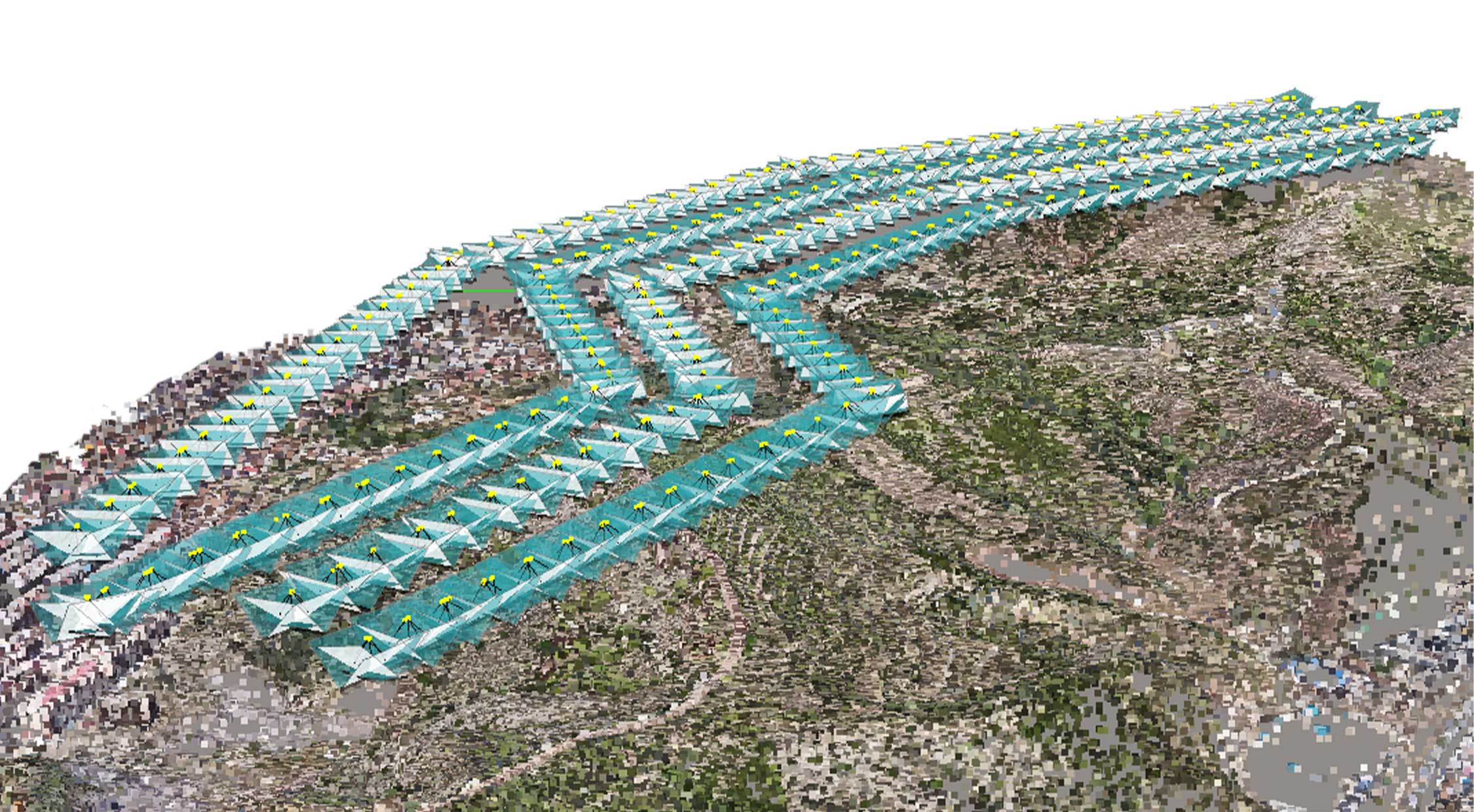
Based on the aerial triangulation results, DP-Smart efficiently extracts image feature points and generates high-density point cloud data.
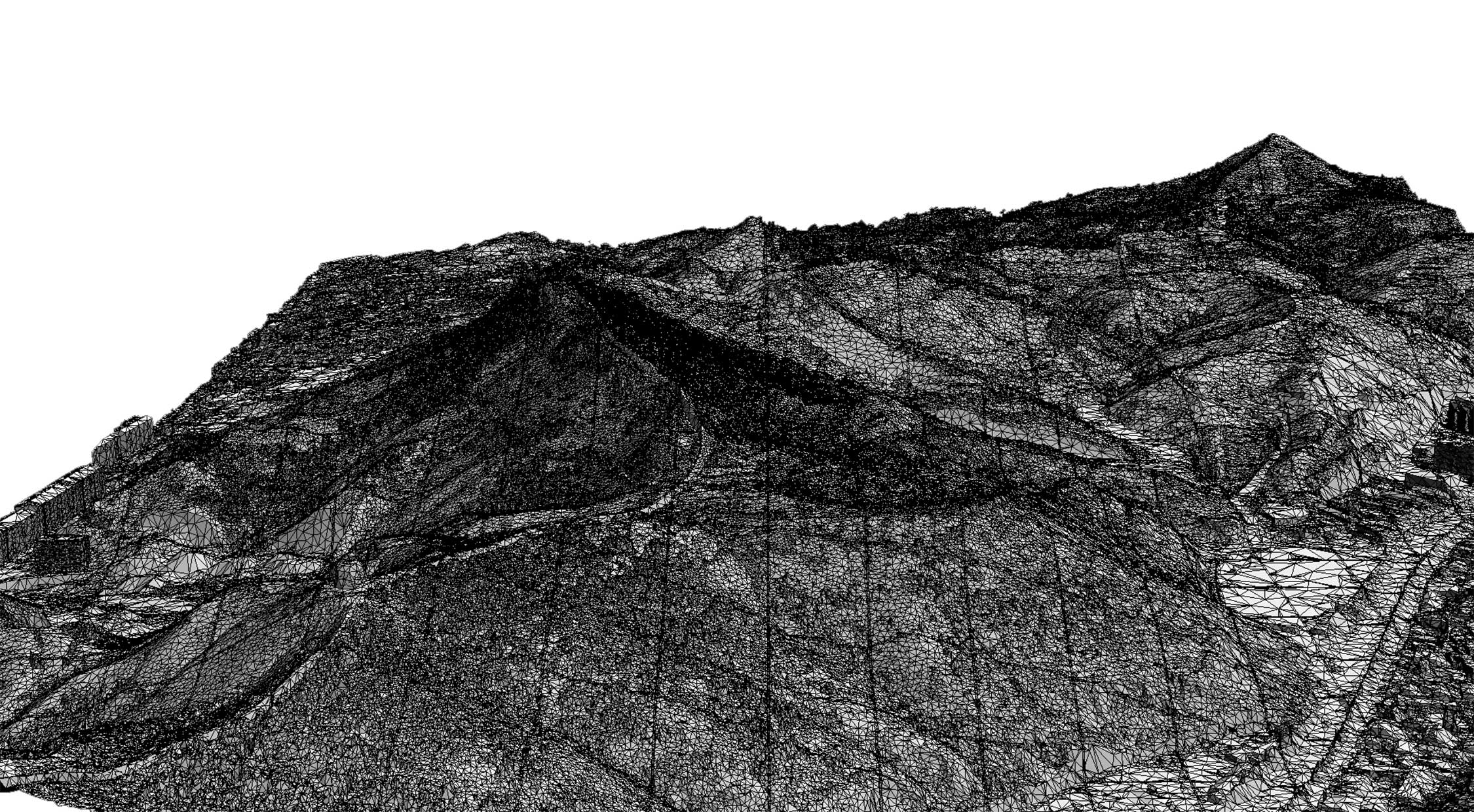
The calculation task of model building is relatively large. In order to increase the data processing speed, the shooting area is divided into N model pieces for processing. Finely construct a network for the model in each block, and a TIN network model can be quickly generated.
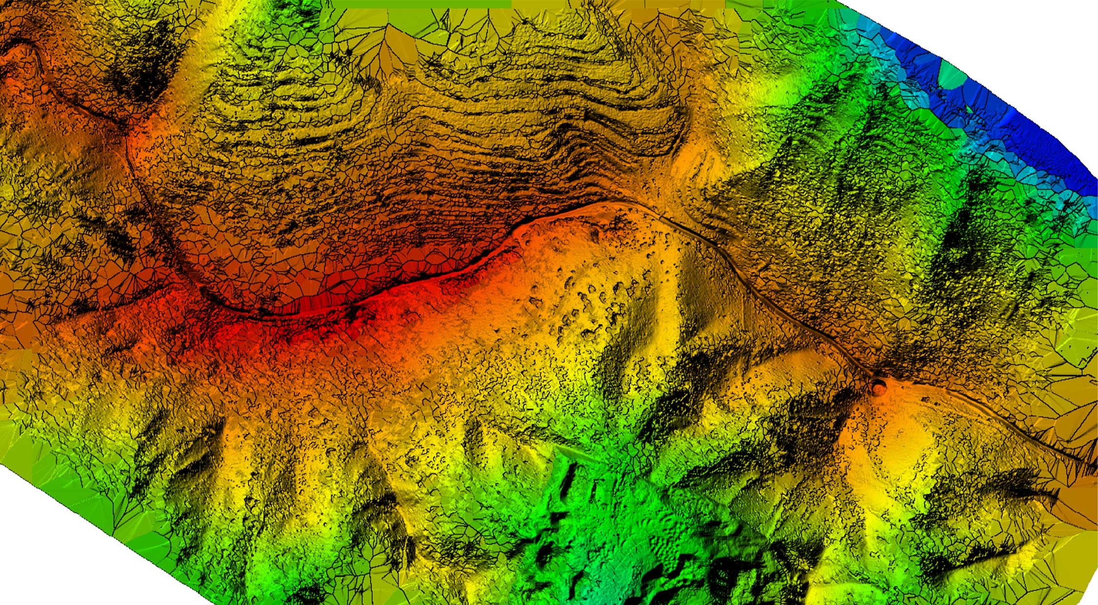
After DP-Smart generates a true three-dimensional model, it can directly output the high-precision DEM and TDOM data of the corresponding block, and support the output of multiple standard formats (.dem, .tif), etc.

Scan the QR to Follow us on Wechat